To quote Maya Angelou:
“I have great respect for the past. If you don’t know where you’ve come from, you don’t know where you’re going.”
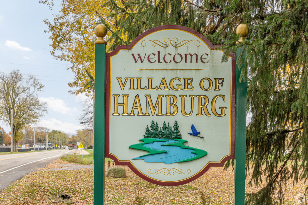
The town of Hamburg was formed by government decree on March 20, 1812, from the (now defunct) town of Willink.[5]The first town meeting took place on April 7, 1812, at Jacob Wright’s tavern at Wright’s Corners, which was renamed Abbott’s Corners, and now Armor. One of the early noted activities of the town board that year was to place a $5 bounty on wolf hides, due to the complaints of the local settlers who were being bothered by them.
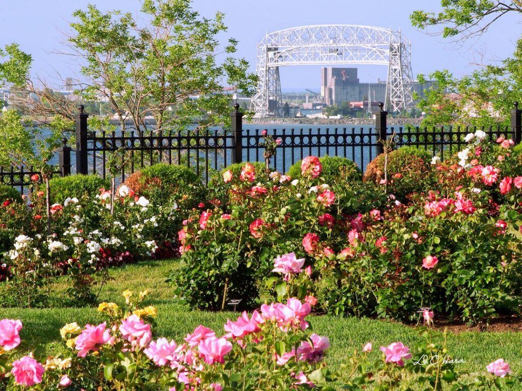
Named “Duluth” in 1856, the city’s name recognizes Frenchman Daniel Greysolon, Sieur du Lhut, who came in 1679 to set up fur trade routes.
Nestled on the shores of Lake Superior, Duluth stands as a testament to the rich tapestry of American history, natural beauty, and cultural diversity. While many are familiar with its iconic lift bridge, scenic railways, and vibrant waterfront, there’s so much more to this northern gem than meets the eye.
DULUTH WAS ONCE THE “MATCH CAPITAL OF THE WORLD”
In the early 20th century, Duluth was home to the Diamond Calk Horseshoe Company, which produced the majority of the world’s matches, earning the city its fiery title.
Local lore has it that a moose named “Tyco” roamed the streets of Duluth in the early 1900s, becoming a beloved local celebrity and an unofficial mascot of the city.
Duluth lays claim to the origins of the Greyhound Bus Line, which started in 1914 as a modest transportation service between Hibbing and Alice, Minnesota, before growing into the nation’s largest intercity bus company.
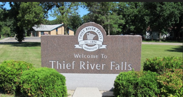
Thief River Falls takes its name from a geographic feature, the falls of the Red Lake River at its confluence with the Thief River. The name of the river is a loose translation of the Ojibwe phrase, Gimood-akiwi ziibi, literally, the “Stolen-land river” or “Thieving Land river,” which originated when a band of Dakota Indians occupied a secret encampment along the river, hence “stealing” the land, before being discovered and routed by the neighboring Ojibwe. In the Treaty of Old Crossing of 1863, the Moose Dung’s Indian Reservation was established on the west bank of the Thief River, at its confluence with Red Lake River. This Indian Reservation was dissolved in 1904 and their population incorporated as part of the Red Lake Band of Chippewa.
Thief River Falls marked the limit of navigation on the Red Lake River. The eponymous town site was established in 1887 and later incorporated as a city in 1896. Thief River Falls first developed as a lumber milling town. It is located in a major agriculture area because of the rich soil left by ancient, Glacial Lake Agassiz. The Great Northern and the Soo Line railroads brought prosperity when Thief River Falls became a center for shipping wheat.
Thief River Falls (and surrounding region) has been home to major industry including snowmobiles, farm machinery, and global electronics distribution.
Thief River Falls is situated on the junction of two rivers, Red Lake River from the east, southeast and the Thief River from the north. The proximity to forests and shipping made Thief River Falls ideal for logging. In the late 19th century the Great Northern Railway was built, and in 1904, the Minneapolis, St. Paul and Sault Ste. Marie Railway (“Soo Line”) passed through on its route from Saint Paul to Winnipeg. Branches were later built to Drake, North Dakota and Duluth, Minnesota. The Minnesota Northwestern Electric Railway, an electric powered passenger train, ran from Thief River Falls to Goodridge between 1914 and 1940.
Today, the river and rails still power the local economy with tourism and shipping. Canadian Pacific Railway and Minnesota Northern Railroad now occupy tracks through town. To this day, Soo Line engine 1024 rests outside city hall (formerly the Soo Line Depot).
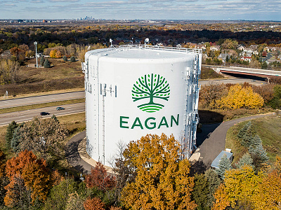
Eagan has a long and proud history stretching back much further than many people know. Established in 1860, with a population of 567, Eagan Township took its name from Patrick Eagan, the first Town Board Supervisor. Long before the Township though, this area was home to the Black Dog Native American village. The encampment, named for its Chief, sat on the shores of the Minnesota River. Eagan was a fertile agricultural area. Farming was the main occupation for most of its early inhabitants. Between about 1840 and 1930, so many onions were grown and shipped from here that Eagan was known as the Onion Capital of the U.S.
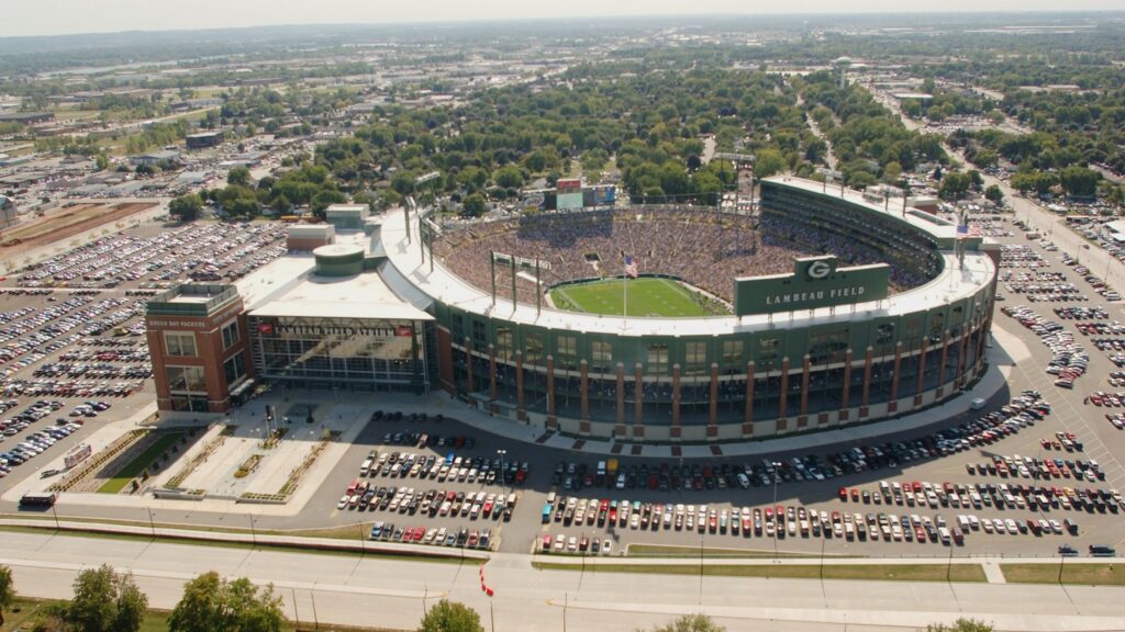
Green Bay is located at the mouth of the Fox River on Lake Michigan in Brown County. Ancestors of the Menominee, Ho-Chunk, and other native peoples inhabited the area for at least 10,000 years, drawn to the area’s rich soil and abundant fish, wild rice, and waterfowl.
In 1634, French explorer Jean Nicolet (1598-1642) met the Ho-Chunk at nearby Red Banks, the earliest reliably documented contact between Europeans and Indians in Wisconsin. About 20 years later, fur traders Pierre Esprit Radisson (1636-1710) and Medart Grosellieres arrived, followed by missionaries Claude Allouez (1622-1689) and Jacques Marquette (1637-1675). The French named the area “La Baye,” and it served as the main point of entry into the continent’s interior.
The first permanent white settlers, the Charles de Langlade family, arrived around 1745. In 1763, the British ousted the French and took control of Green Bay until 1783, when the Americans won control in the American Revolution.
The Americans constructed Fort Howard in 1816 to guard the entrance to Wisconsin. With the fort, the community grew rapidly. Belgian farmers and Norwegian skilled laborers arrived in the 1850s.
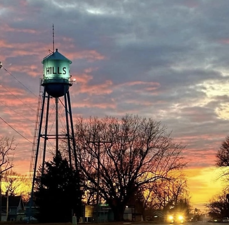
Hills, a city in Martin township, was platted in November 1889 and incorporated November 15, 1904. At the time of incorporation the population was 351. The city was first called Anderson (after the names of Oslo and Grant were short-lived) , in honor of Goodman Anderson, a resident there, but was renamed March 1, 1890 for Frederick C. Hills, who was president of the Sioux City and Northern Railway. The city was located at the intersection of the Illinois Central and the Sioux City and Northern railroads.
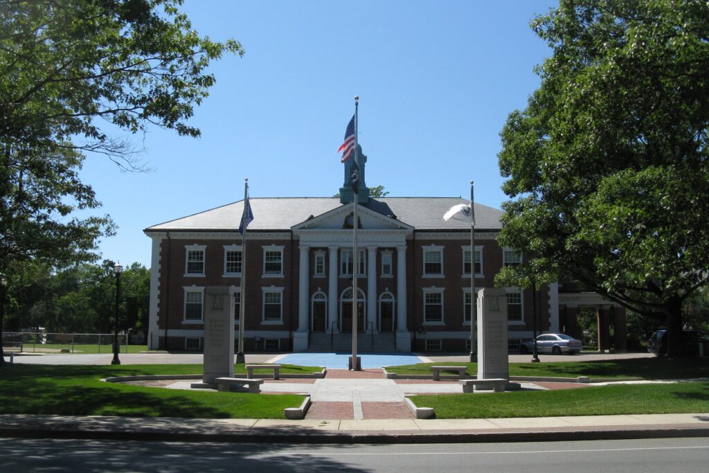
Braintree was founded on land first colonized in 1625 by Captain Wollaston, and initially named Mount Wollaston. Under the rule of Thomas Morton it was renamed Merry Mount. The area was resettled and incorporated as the town of Braintree, named after the English town of Braintree in 1640, on land which is now part of the current town of Braintree, from which Randolph, the City of Quincy, and part of Milton were split off. Braintree is the birthplace to Presidents John Adams, and John Quincy Adams, as well as statesman John Hancock and General Sylvanus Thayer. Braintree is also the site of the infamous Sacco and Vanzetti murders as well as the retirement home of the co-inventor of the telephone Thomas Watson.
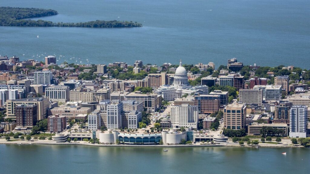
Madison is located in south central Wisconsin on an isthmus between Lakes Mendota and Monona in Dane County. Between 300 and 1300 CE, Native American “mound builders” occupied the area and built thousands of effigy mounds. By the time white settlers began to arrive, the Ho-Chunk nation called the area home and continued to camp near the lakes into the 1940s.
Judge and land speculator James Duane Doty (1799-1865) traveled through the isthmus in 1829 and liked the site so much that he bought much of the area. In 1836, Doty persuaded the territorial legislature to make the area that became Madison the new capital. Doty named Madison for James Madison, 4th President of the U.S. The next year, in 1837, Eben and Rosaline Peck (1808-1899) became the first white settlers in Madison.
Eight years after Wisconsin became a state, Madison became a city boasting a population of 6,864. The first settlers were Yankees from the eastern states. They were followed by German, Irish, and Norwegian immigrants. Italians, Greeks, Jews, and African Americans came around the turn of the 20th century.
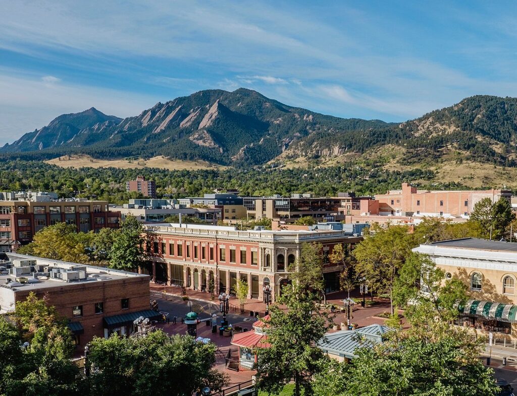
The City of Boulder City was incorporated on November 4, 1871. On September 20, 1875, the first cornerstone was laid for the first building (Old Main) on the CU campus. Colorado became a state on August 1, 1876, and the university officially opened on September 5, 1877.
Originally an Indian mission, and later a lumbering, trading, and sawmill center offering goods for settlers and loggers in and around the village, the advent of the railroad stimulated Walker’s economy and added new population growth. The village and surrounding area have grown slowly but steadily throughout the past fifty years.
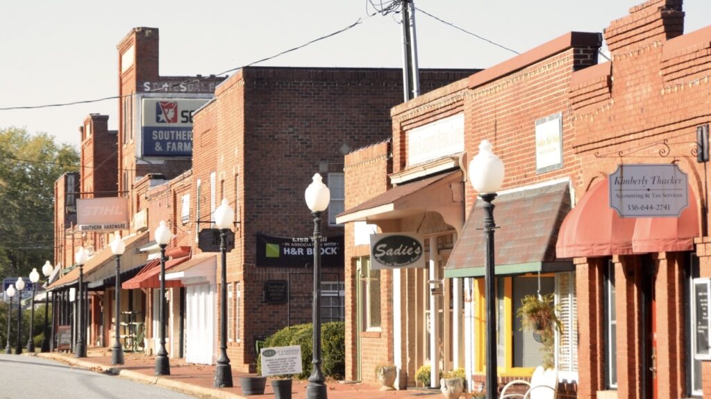
Stokesdale originally was called Green Pond because of a swampy pond in the general area of what is now Ellisboro Road and N.C. 65. The town consisted of a general store built by John King in 1860. That store still stands today across from the intersection of Ellisboro and Gideon Grove Church Roads.In 1886, the town name was changed to Stokesdale, selected to honor a Mr. Stokes who was either an executive of the railroad, a conductor on the train, or the surveyor who surveyed the area. Town records are vague.
Stokesdale was first incorporated in 1907, went bankrupt during the Depression, and became inactive in the 1930s. The town was incorporated a second time on Nov. 9, 1989.
The most recent census estimate indicates the town’s population at 2,240.
We cannot choose where we came from, but we can choose where we go from there.